
Mexico
42844 post code
Post code details
1 placeCode
Place
Pedregal
Region
Hidalgo
County
Tula de Allende
Coordinates
20.0642, -99.3766
Accuracy
1 / 6
Country
Mexico
Location
OpenStreetMap ↗


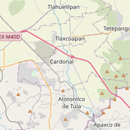


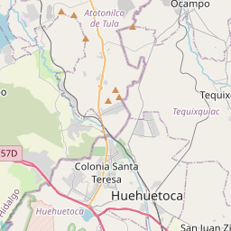
20.0642, -99.3766© OpenStreetMap
Places under this code
1| Place | Region | County | Coordinates |
|---|---|---|---|
| Pedregal | Hidalgo | Tula de Allende | 20.0642, -99.3766 |
Same code in other countries
0This code only appears in this country.
FAQ
Which city is 42844 in?
Pedregal, Hidalgo, Mexico.
What are the coordinates of 42844?
20.0642, -99.3766
Is 42844 used in other countries?
No.