
Mexico
42815 post code
Post code details
4 placesCode
Place
El Paso
Region
Hidalgo
County
Tula de Allende
Coordinates
20.0499, -99.3992
Accuracy
4 / 6
Country
Mexico
Location
OpenStreetMap ↗


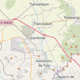


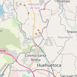
20.0499, -99.3992© OpenStreetMap
Places under this code
4| Place | Region | County | Coordinates |
|---|---|---|---|
| El Paso | Hidalgo | Tula de Allende | 20.0499, -99.3992 |
| La Magdalena | Hidalgo | Tula de Allende | 20.0333, -99.4333 |
| Xochitlán de las Flores | Hidalgo | Tula de Allende | 20.0441, -99.4109 |
| Xonthe | Hidalgo | Tula de Allende | 20.0492, -99.4003 |
Same code in other countries
2| Country | Place | Region |
|---|---|---|
| KR South Korea | 달서구 | 대구광역시 |
| TR Türkiye | Başkuyu | Konya |
FAQ
Which city is 42815 in?
El Paso, Hidalgo, Mexico.
What are the coordinates of 42815?
20.0499, -99.3992
Is 42815 used in other countries?
Yes, 2 other countries.