
Mexico
42187 post code
Post code details
6 placesCode
Place
Amaque
Region
Hidalgo
County
Mineral de la Reforma
Coordinates
20.0753, -98.6728
Accuracy
4 / 6
Country
Mexico
Location
OpenStreetMap ↗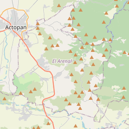
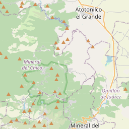
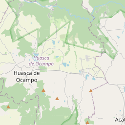
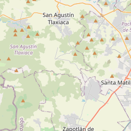
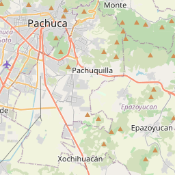
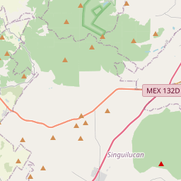
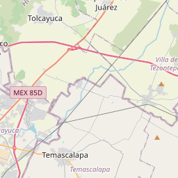
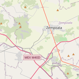
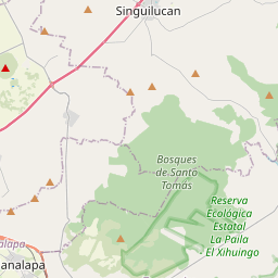
20.0753, -98.6728© OpenStreetMap
Places under this code
6| Place | Region | County | Coordinates |
|---|---|---|---|
| Amaque | Hidalgo | Mineral de la Reforma | 20.0753, -98.6728 |
| Azoyatla de Ocampo | Hidalgo | Mineral de la Reforma | 20.1065, -98.6855 |
| El Velillo | Hidalgo | Mineral de la Reforma | 20.1238, -98.6766 |
| Hacienda San Lunes | Hidalgo | Mineral de la Reforma | 20.1203, -98.7061 |
| Hacienda Santa Gertrudis | Hidalgo | Mineral de la Reforma | 20.1065, -98.6855 |
| La Pila | Hidalgo | Mineral de la Reforma | 20.1067, -98.6864 |
Same code in other countries
1| Country | Place | Region |
|---|---|---|
| KR South Korea | 수성구 | 대구광역시 |
FAQ
Which city is 42187 in?
Amaque, Hidalgo, Mexico.
What are the coordinates of 42187?
20.0753, -98.6728
Is 42187 used in other countries?
Yes, 1 other countries.