02240 postal code
MexicoUpdated 2026-11-09San Andrés, Distrito FederalAzcapotzalco5 digits
Postal code details
3 placesCode
02240
Place
San Andrés
Region
Distrito Federal
County
Azcapotzalco
Coordinates
19.4853, -99.1821
Accuracy
3 / 6
Country
Mexico
Location
OpenStreetMap ↗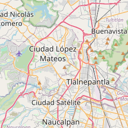
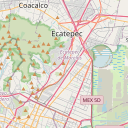
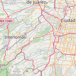
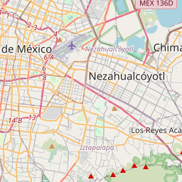
19.4853, -99.1821© OpenStreetMap
Ad slot · 300×250
Places under this code
3| Place | Region | County | Coordinates |
|---|---|---|---|
| San Andrés | Distrito Federal | Azcapotzalco | 19.4853, -99.1821 |
| San Andrés Fase II | Distrito Federal | Azcapotzalco | 19.5169, -99.1403 |
| Ticoman | Distrito Federal | Azcapotzalco | 19.4853, -99.1821 |
Same code in other countries
7| Country | Place | Region |
|---|---|---|
| ES Spain | Mahora | Castilla - La Mancha |
| FI Finland | Espoo | Uusimaa |
| FR France | Alaincourt | Hauts-de-France |
| KR South Korea | 중랑구 | 서울특별시 |
| PE Peru | Chachasbamba | Ancash |
| PL Poland | Warszawa | Mazovia |
| TR Türkiye | Ağaçkonak | Adiyaman |
FAQ
Which city is 02240 in?
San Andrés, Distrito Federal, Mexico.
What are the coordinates of 02240?
19.4853, -99.1821
Is 02240 used in other countries?
Yes, 7 other countries.
Updated 2026-11-09. Attribution in Data & license.