
Mexiko
42755 Postleitzahl
PLZ-Details
8 OrtePLZ
Ort
Boxaxni
Region
Hidalgo
Kreis
Chilcuautla
Koordinaten
20.4004, -99.2652
Genauigkeit
4 / 6
Land
Mexiko
Lage
OpenStreetMap ↗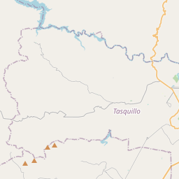
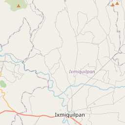
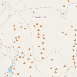
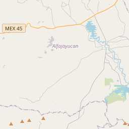
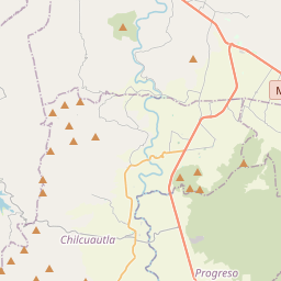
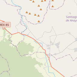
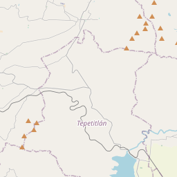
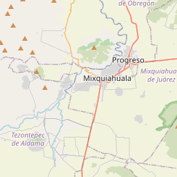
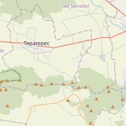
20.4004, -99.2652© OpenStreetMap
Orte unter dieser PLZ
8| Ort | Region | Kreis | Koordinaten |
|---|---|---|---|
| Boxaxni | Hidalgo | Chilcuautla | 20.4004, -99.2652 |
| Cerro Colorado | Hidalgo | Chilcuautla | 20.3758, -99.2356 |
| Cerro del Corazón (El Muí) | Hidalgo | Chilcuautla | 20.3983, -99.2797 |
| El Dadhó | Hidalgo | Chilcuautla | 20.4067, -99.2349 |
| El Deca | Hidalgo | Chilcuautla | 20.3514, -99.2528 |
| La Loma | Hidalgo | Chilcuautla | 20.3243, -99.2552 |
| Llano Primero | Hidalgo | Chilcuautla | 20.3717, -99.2386 |
| Zacualoya | Hidalgo | Chilcuautla | 20.3581, -99.2314 |
Gleiche PLZ in anderen Ländern
2FAQ
In welcher Stadt liegt 42755?
Boxaxni, Hidalgo, Mexiko.
Welche Koordinaten hat 42755?
20.4004, -99.2652
Wird 42755 auch in anderen Ländern verwendet?
Ja, in 2 weiteren Ländern.